27 November, 2024
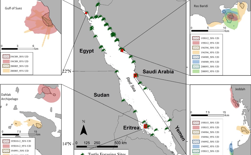
We’re thrilled to celebrate the incredible achievement of our PhD candidate, Hugo Mann; in his recent study, Mann et al. 2024 highlighted an unexpected ally in mapping seagrass meadows: sea turtles. Researchers discovered that tracking the movements of green turtles (Chelonia mydas) can yield more detailed and accurate maps of seagrass habitats than current satellite technology. These meadows, critical for carbon storage and marine biodiversity, are notoriously difficult to monitor through satellites due to their underwater location and patchy distribution.
By equipping turtles with GPS trackers and cameras, scientists gained insights into their grazing patterns and habitat use, revealing previously uncharted seagrass beds. The study underscores the potential of combining animal behavior studies with conservation technology to monitor and protect vulnerable ecosystems.
This innovative approach could transform marine habitat mapping, offering a cost-effective and ecological method to safeguard essential seagrass ecosystems globally.
This publication also received the attention of Science magazine!
Congratulations to Hugo and the team for this inspiring and impactful work!